

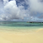
Location
Puerto Rico is the easternmost island of the Greater Antilles. The island spans 90 miles (145km) from west to east and 30 miles (48km) north to south. Puerto Rico is positioned southeast of the Dominican Republic and northwest of the US Virgin Islands (18˚ 15’ N and 66˚ 30’ W). The northern part of the island lies in the North Atlantic Ocean while the west, south and eastern slopes are in the Caribbean Sea.

Weather
The weather is consistent with a tropical marine environment, including little seasonal variation. Puerto Rico’s weather changes from the northeast corner to the southwest corner of the island. The Trade Winds and mountain ranges have a heavy influence on weather patterns.

Geology
Puerto Rico lies along tectonic plates. Many models have been proposed to explain the formation of Puerto Rico including subduction of tectonic plates, volcanic activity, limestone deposits, and a combination of all these geological processes. The depth of the Puerto Rican Trench has made study of the geology of the seafloor surrounding the island a challenge. Methods are improving for mapping the seafloor and adding to the understanding of the geological origins of the island.

Activities
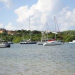
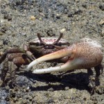
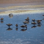
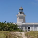
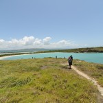
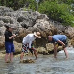
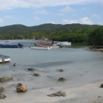
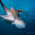
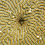
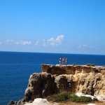
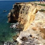
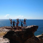
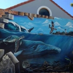
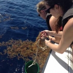
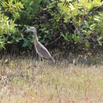
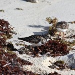
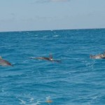
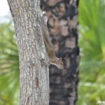
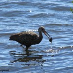
There are many things to see and do in and around Puerto Rico. Tourism is a significant part of the economy. Opportunities exist for outdoor activities including fishing, ziplines, sightseeing, snorkeling, scuba diving, boating, hiking, and beach activities. We have included our most trusted contacts for MCERC interns, students, and visitors that want to explore the island.


Location
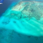
Turks and Caicos Islands include 8 main islands and over 22 small islands with a total land area of about 616 sq.km (238 sq.mi). They are a British Overseas Territory in the Lucayan Archipelago to the north of the Caribbean Sea, positioned in the Northern and Western hemispheres. Mayaguana is to the northwest, Cuba is to the southwest, and the Hispaniola Islands are to the south.
Weather
Weather is pleasant and consistent year-round, with an average temperature of 27°C (75°F). The hotter season is from May to October, while the cooler season is from November to April. In the Caribbean, the Turks and Caicos Islands see the least amount of precipitation with 350 days of sunshine.
Geology
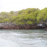
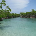
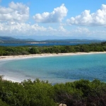
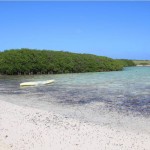
The islands mostly consist of low, flat limestone formed by coral reefs, and they have extensive mangrove swamps and marshes ringed by sandy beaches. You can also find caves on all islands, serving as ideal wildlife habitats.
Activities
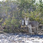
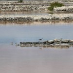
Turks and Caicos is unparalleled for water sports such as diving, snorkeling, windsurfing, kayaking, paddle boarding, kiteboarding, wakeboarding and parasailing - WHEW! Even sport fisherman come for tournaments. If you're not into water, you can do a lot on land like riding horses, golfing, biking, bird watching, and exploring the breathtaking landscape.
Location
Costa Rica covers about 51,100 sq.km (19,700 sq.mi) in Central America. It is bordered by Nicaragua to the north, the Caribbean Sea to the northeast, the Pacific Ocean to the southwest, and maritime border with Ecuador to the south of Cocos Island.
Weather
Costa Rica has a year-round tropical climate. The summer season is a dry season from December to April, and the winter rainy season is from May to November.
Geology
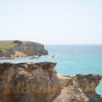
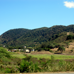
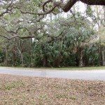
Most of Costa Rica is dominated by the Sierra Madre Mountains. Over eons of time, violent volcanic eruptions have split the mountains into individual ranges and valleys. Costa Rica is heavily forested, has dozens of rivers, and its coastline beaches are narrow with small bays and peninsulas.
Activities
Costa Rica is the most visited nation in Central America. Many tourists come to see its extensive national parks or walk along the Camino de Costa Rica, which extends from the Atlantic to the Pacific coast. In 2017 National Geographic named Costa Rica the "happiest country in the world" due to its culture of simply living life to the fullest.
Location
Florida is the very southeastern peninsula state of the United States in Northern America and covers about 170,300 sq.km (65,800 sq.mi). The Gulf of Mexico lies to the west, Alabama to the northwest, Georgia to the north, the Bahamas and Atlantic Ocean to the east, and the Straits of Florida and Cuba to the south.
Weather
Weather is influenced by the waters. Northern areas can be humid and subtropical, while southern areas are more true tropical. On rare occasions, far north regions can experience snow. Temperature varies by season, from a low of 9°C (49°F) in January (peak winter) to a high of 33°C (91°F) in July (peak summer). Florida is no stranger to hurricanes and storms in the summer and early fall.
Geology
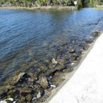
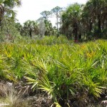
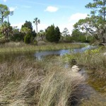
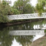
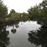
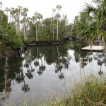
Florida is a porous plateau of limestone atop bedrock. There is an extensive system of underwater caves, sinkholes and springs throughout the state. The Everglades National Park consists of a wide, slow river at the tip of the peninsula, and covers 6,110 sq. km (1.51 million acres) of land.
Activities
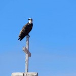
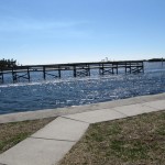
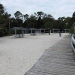
Many people come to Florida for its beach towns, state parks, fishing and amusement parks (Disney World, Epcot, Universal, Busch Gardens, etc.).
Location
The Dominican Repblic (DR) is the 2nd largest country in the Caribbean, covering an area of 48,671 sq.km (18,792 sq.mi). It is in the north-central Caribbean in the Northern and Western hemispheres, and it occupies 2/3 of the Island of Hispaniola in the Greater Antilles archipelago. Haiti lies to the west, the Mona Passage to the east, the Atlantic Ocean to the north and the Caribbean Sea to the south.
Weather
The DR has a mostly tropical rainforest climate, with some areas more like a tropical savanna. Average temperature is 25°C (77°F), varying lower temps at higher elevations and vice versa. The coolest months are January and February, with August being the hottest. Though rare, the DR can see snowfall and tropical cyclones.
Geology
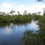
The DR has 4 mountain ranges, one of which is the highest in the whole of the West Indies. Between ranges lie valleys, some rich and fertile, others semi-arid. Plains are scattered throughout the land and along the coast. There are 4 major rivers, and many lakes and coastal lagoons. There are also forests, wetlands, mangroves, and small offshore islands.
Activities
The DR is the most popular destination in the Caribbean. Most tourists must get a tourist card, depending on their resident country. Tourists come to visit its beautiful coastlines, islands, mountain ranges, lakes and waterfalls. There is also a unique blend of cultural cuisine and music.